About Us
We're experts in geospatial services
We deliver technology forward, data-driven solutions to help improve the world.
ABOUT US
At Mapworqs, we specialize in delivering comprehensive geospatial consulting and services across the Mountain West region. Rooted in the heart of this dynamic landscape, we harness the power of Geographic Information Systems (GIS) to provide innovative solutions tailored to your unique challenges.
Our expertise lies in solving complex geospatial problems and conducting precise data analysis, allowing you to make informed decisions with confidence. Whether you’re tackling intricate environmental assessments, managing large-scale projects, or seeking efficient ways to visualize and interpret your data, Mapworqs is your trusted partner.

Our Values
Integrity
Let’s do the right thing for our customer. Every time.
Innovation
We leverage the latest in technology to bring you new and unique perspectives and solutions.
DATA-DRIVEN
We empower our clients to make better decisions by focusing on being data-driven and supportive.
Client Centered
We prioritize understanding and addressing our clients’ unique needs, ensuring that our solutions are tailored to their specific challenges and goals.
Collaborative
We believe in the power of teamwork and partnership, both within our company and with our clients, to achieve the best possible outcomes.
Adaptable
We embrace change and are always ready to adjust our strategies and solutions to meet evolving challenges in the geospatial field.
When planning your next project please consider Mapworqs for:
- Environmental & Risk Assessments:
We provide thorough and accurate assessments that help navigate regulatory landscapes with ease.
- Custom Cartography:
From traditional print maps to cutting-edge web and interactive maps, our cartography services are designed to meet your specific needs.
- Remote Sensing:
Obtain crucial site data quickly and cost-effectively without the need for on-site visits, using advanced remote sensing and drone technologies.
Access both historic and current aerial imagery through existing databases or procure new data using state-of-the-art drones.
- Data Management Solutions:
Design and implement robust data management systems that enable seamless remote workforce management and real-time data collection from the field.
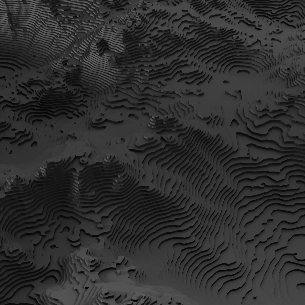
- Geospatial Modeling:
Leverage our extensive data library or your own data for sophisticated modeling in 2D, 3D, or even 4D environments.
- Data Conversion:
Convert your current or historical data into digital and geospatial data.