Some Projects We Have Managed Or Consulted
PROJECTS
We have been trusted with countless GIS projects for both the private and public sectors. Mapworqs has led and supported on projects ranging from community wildfire protection planning to flood inudation mapping to street maps for phonebooks and more.
Project
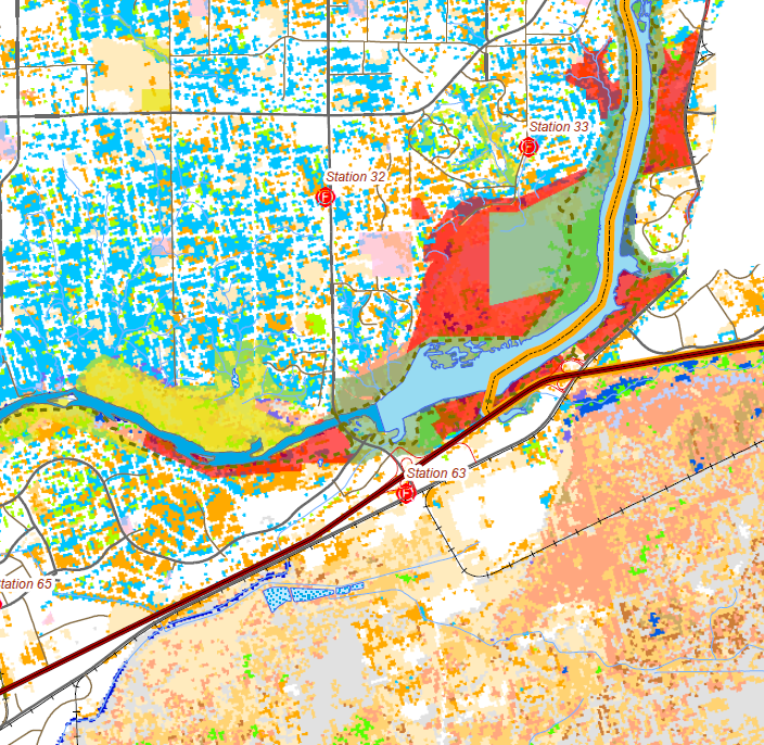
Wildfire risk assessment
Provided GIS and mapping services as part of the project teamfor Sacramento Metropolitan Fire District’s Community Wildfire Protection Plan (CWPP).

Project
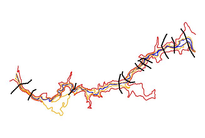
Flood inudation mapping
Mapworqs was secured to provide flood inudation mapping. The project’s primary role was to provide high-resolution inudation maps to be used by policy makers and officials for modeling and flood susceptibility evaluation.

Project
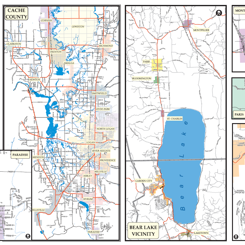
Phone book mapping
Mapworqs consulted and provided mapping and cartographic design services for phone book publishing companies.


